HEAVY RAIN, WALL CLOUD & WET MICROBURST
Tucson, 28 July 2007

A discussion that goes along with these images can be found on the MadWeather Blog

A storm with heavy rain and wet macroburst hit the house around 1:30 pm. An intense storm with another wet macroburst had moved off the Catalinas off to the east of house around 12:30 pm.

The storm that came across here had a spectacular wall cloud -  photos attached below. Weak rotation was apparent. During the height of event winds were very strong from north - probably 50 to 60 mph but visibility was essentially zero. Lots of sirens a bit after event.

Rainfall from 12:50 pm to 2:00 pm was 1.35" unfortunately lots got into casita where my books are - but luckily just lots of mopping up - and half of our landscape gravel from front yard is out in the street.


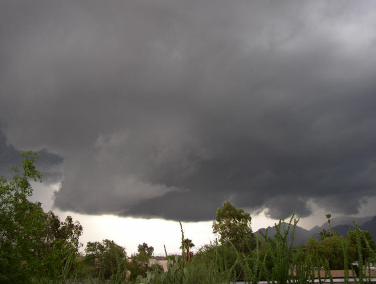
Photo 1:  Wall Cloud as Storm Approaches -   28 July 07


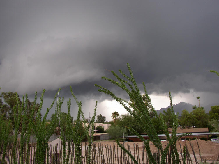
Photo 2: Wall Cloud as Storm Approaches Another View  -   28 July 07


Photo 3:  East side of the wall cloud from the UofA's Computer
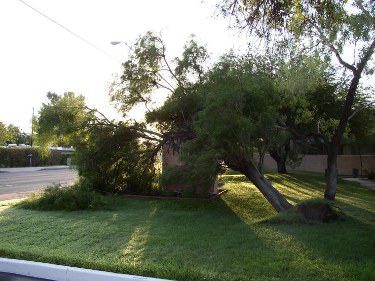
 Science's Dept "Arizona Webcam."
(This cam looks due north; the vantage point is a window in the Gould-Simpson building.)


Photo 4:  Storm damage, early afternoon 28 July 2007 near Fort Lowell & Dodge, Tucson


Photo 5: Storm damage, early afternoon 28 July 2007 near Dodge & Fort Lowell, Tucson


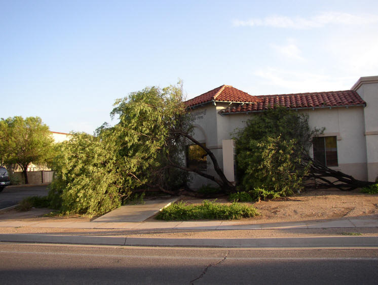
Photo 6: Storm damage, early afternoon on 28 July 2007 at intersection of Dodge and Fort Lowell, Tucson